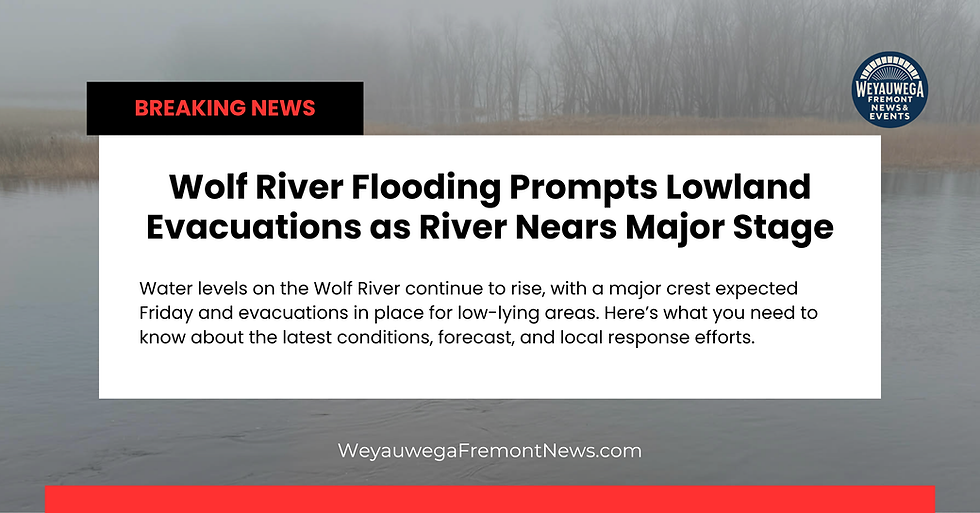
Water Begins Receding at Balsam Row Dam as Flood Outlook Slowly Improves for the Wolf River
- Weyauwega Fremont News

- Apr 16
- 2 min read

FREMONT, WI – Even with the water continuing to rise in the Weyauwega-Fremont area, there is finally a sign of progress in the ongoing Wolf River flooding situation.
Officials report that water levels at the Balsam Row Road Dam have noticeably receded over the past 24 hours, making it the first key point along the river system to show improvement. Photos shared by the Shawano County Sheriff’s Office show a clear drop in water levels compared to Wednesday morning.
In a statement, the Sheriff’s Office said they are feeling “much more comfortable” with current conditions and are optimistic the trend will continue.

What This Means for Downstream Communities
This development could mark the beginning of a slow but important shift.
As water levels drop at Balsam Row, the next area expected to respond is Shawano Lake, which plays a critical role in controlling how quickly water moves downstream. If levels continue to fall there, it will help slow the surge of water heading toward Shiocton and New London, followed by Weyauwega and Fremont.
New London Still Rising, Weyauwega Fremont Not There Yet
According to the latest National Water Prediction Service data. The updated forecast shows water levels in New London beginning to recede Friday evening around 7:00 PM, which is a significant improvement from earlier projections.

Just yesterday, forecasts suggested:
The river would not fall below 11 feet until Tuesday afternoon
Now, updated projections show:
Levels dropping below 11 feet by Monday evening
For Weyauwega Fremont residents, the river has not yet reached its peak, meaning water levels are still expected to rise before any noticeable improvement begins.
Weather Could Still Change the Timeline
Even with improving projections, one key factor remains: Friday night’s rain.
Current forecasts call for around a half inch to one inch of rain, with the possibility of locally higher amounts if thunderstorms develop.
River forecasts like the ones used above do take expected rainfall into account, but they are highly sensitive to changes in actual conditions.
That means:
If rainfall stays on the lower end, the current timeline for relief is likely to hold
If storms produce heavier rain, the river could take longer to crest and recede
If less rain falls than expected, water levels could drop sooner
In short, while the trend is improving, the situation is still evolving.
Residents affected by the Wolf River Urged to Stay Prepared
Even with encouraging signs upstream, conditions remain serious across much of the Wolf River system.
Officials continue to urge:
Residents in low-lying areas to evacuate if necessary
Ongoing sandbagging efforts where water is still rising
Close monitoring of local updates as conditions change quickly
The next 24 to 48 hours will be critical. While early signs point toward improvement, rainfall Friday night will play a major role in determining how quickly the Wolf River begins to fall across the area.
We’ll continue to monitor conditions and provide updates as the situation develops across Weyauwega, Fremont, and surrounding communities.


).jpg)


Comments